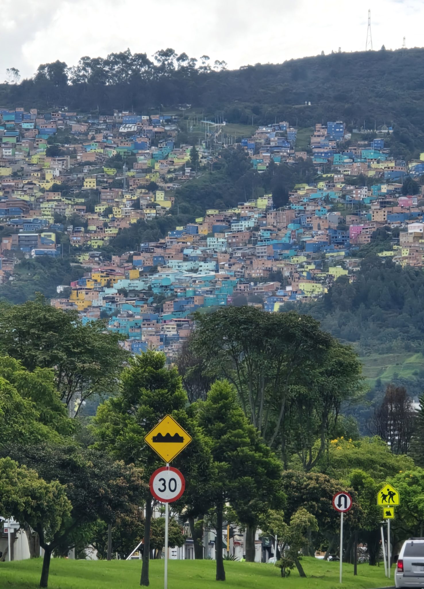
The proposal turns a basic question into an infrastructure test: does Atlanta know exactly where its remaining dirt and gravel roads are, and who is still living with them?
Atlanta leaders want a complete count of the city’s dirt roads, and the Atlanta City Council is considering an inventory of unpaved and gravel roads across Atlanta, Georgia. The Atlanta Department of Transportation would identify them so counting the roads could help guide paving and repairs for residents, delivery drivers, mobility vehicles and emergency access.
The proposal is small on paper but larger in meaning: before Atlanta can fix every leftover dirt, gravel or rocky street, it has to know where they are, who depends on them and which ones should come first.
A count before the paving
According to Axios, City Council member Antonio Lewis and colleagues want the Atlanta Department of Transportation to find all of the “unimproved, unpaved, dirt, gravel, and rocky roads” in their districts and recommend fixes.
That language matters because it is broader than a simple search for roads that look like rural dirt lanes. It could include rough gravel segments, rocky stretches and unimproved streets that function as everyday access routes for people who live nearby.
The request also highlights a common problem in city infrastructure: the most visible roads often get the attention, while smaller streets can fall into a gray area. Residents may know exactly where the problem is. Citywide planning systems may not always treat those spots with the same urgency.
A formal inventory would not pave a street by itself. But it could give council members, transportation staff and residents a shared list to argue from when money, scheduling and priorities come up.
Why hidden streets matter
Unpaved roads are easy to dismiss until they are part of your daily route. A street that turns muddy after rain, kicks up dust in dry weather or traps vehicles in soft patches can shape basic routines: getting to work, receiving deliveries, reaching a bus stop or waiting for emergency help.
Axios noted that the inventory could address frequent complaints from residents and concerns from first responders. That is the core public-service issue. A road is not just a line on a map; it is the connection between a home and the rest of the city.
For delivery drivers, rough surfaces can mean stuck trucks, damaged vehicles or skipped stops. For people using wheelchairs, scooters or other mobility vehicles, an unimproved street can become more than an inconvenience. It can narrow where someone can safely travel from their own home.
First responders face a different version of the same problem. If fire, medical or police vehicles have to slow down, reroute or risk getting stuck, the condition of a neighborhood street becomes part of the city’s emergency-response system.
Southwest Atlanta complaints linger
The push follows public frustration in southwest Atlanta. Axios cited Fox 5 reporting from 2025 that residents demanded the city pave two unimproved streets where delivery trucks and residents’ cars had gotten stuck.
That example shows why a dirt-road count can become politically charged. Residents who have repeatedly complained may see another study as delay unless it leads to visible work. City officials, meanwhile, may argue that a complete inventory is the step needed to avoid one-off fixes and set a fair order for repairs.
Both concerns can be true. A city that reacts only to the loudest complaints risks missing quieter blocks with serious access problems. But a city that keeps counting without building can lose trust fast.
The challenge for Atlanta is to make the inventory useful, not ceremonial. That means connecting the list to cost estimates, engineering limits, safety needs and a timeline residents can understand.
A citywide list gains support
One important debate is the scope of the count. Axios reported that Council member Alex Wan pushed for the inventory to cover the entire city, not only selected districts.
That citywide approach could reduce the risk of uneven attention. If the Department of Transportation looks only where a council member asks, Atlanta may end up with a patchwork picture. A full inventory would help show whether unpaved roads are clustered in certain neighborhoods or scattered in unexpected places.
Council member Dustin Hillis also called for projects to be prioritized based on the number of residents who live along an unpaved road, according to Axios. That would steer work toward streets affecting more households, a practical way to stretch limited resources.
There is a tradeoff. Prioritizing by the number of residents can make sense, but it may leave a small number of households waiting if they live on a lightly populated but hard-to-navigate road. A fair system may need more than one factor: residents affected, emergency access, road condition, drainage, school routes and cost.
The city already knows some
The proposal is not starting from zero. Axios reported that Atlanta’s transportation department is aware of dirt and gravel roads, and that the City Council is considering renewing a contract to improve several.
That detail complicates the story. If the city already knows about some roads and has a contract path for repairs, the inventory is less about discovering that dirt roads exist and more about building a complete, defensible map of the problem.
It also raises practical questions that are not yet answered. How many roads would be included? How much would paving or repair cost? Would every road be paved, or would some get grading, gravel stabilization, drainage work or other fixes?
Those distinctions matter because paving can create its own engineering and stormwater issues. A road that looks simple to fix may need drainage improvements, utility coordination, right-of-way review or design work before asphalt goes down.
What happens after Aug. 3
The full Atlanta City Council is expected to consider the legislation when members return from summer recess on Aug. 3, according to Axios. If approved, the next important step would be whether the Department of Transportation is given clear deadlines and reporting requirements.
Residents should watch for whether the city produces a public list, a map, a ranking system or a set of recommended projects. The difference matters. A map can show the scale of the problem. A ranked list can show who moves first. A funding plan can show whether the count will lead to construction.
The broader takeaway is straightforward: infrastructure repair often begins with unglamorous recordkeeping. Counting dirt and gravel roads will not satisfy residents who want pavement now, but without a complete count, Atlanta risks making decisions from incomplete information.
If the inventory is thorough and tied to action, it could turn long-running neighborhood complaints into a citywide repair plan. If it becomes another list without money behind it, Atlanta’s remaining dirt roads will keep making the same point every time a car, truck or wheelchair has to navigate them.
Leave a Reply